EXIF Data: How is it used in Mapping
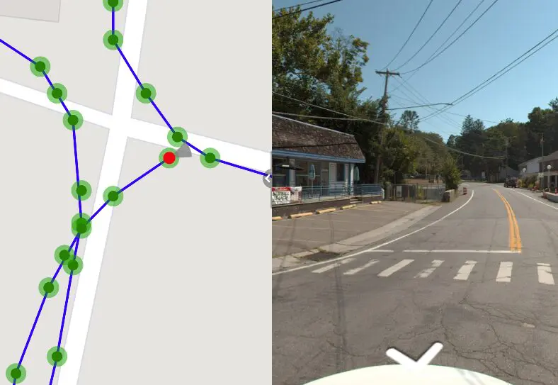
EXIF Data, which stands for “Exchangeable Image File Format,” is a set of standardized tags embedded within digital photos. It’s like a hidden document attached to each image, revealing valuable information about its creation. In Mapping, the most important EXIF info is the GPS metadata which includes Latitude and Longitude and the time stamp.
Other info captured withing EXIF data include:
- Camera settings: Aperture, shutter speed, ISO, white balance, focal length, even lens model
- Capture details: Date and time, GPS location (if enabled), flash mode
- Image characteristics: Resolution, color space, compression method
- Software used: Camera model, editing software (if used)
This wealth of information offers numerous benefits:
- Show the location of where the photo was taken.
- Organizing and searching: Filter photos by camera, date, location, or other EXIF data for easier management.
- Copyright protection: EXIF data can help prove ownership and copyright claims.
- Forensic analysis: EXIF data can aid in investigations, providing valuable clues about the origin of an image.
However, EXIF data also raises privacy concerns, as it may reveal personal information like location or camera model. Be mindful of sharing photos with sensitive EXIF data intact.
Here are some additional points to remember:
- Not all image formats support EXIF data (e.g., JPEGs do, GIFs don’t).
- You can view EXIF data using various software, including photo editors and even your operating system‘s built-in tools.
- You can edit or remove EXIF data, but remember this alters the original image file.
In short, EXIF data is crucial for being able to see your photos on the map. In mapping, the user intentionally includes GPS metadata in the photos in order to do image-based analysis. valuable resource for mobile mapping applications,photographers, offering insights into image creation and facilitating organization. Just be aware of privacy implications and handle it responsibly.
OcuMap offers a secure web-based platform for uploading, analyzing, and sharing GPS-tagged imagery. This solution caters to both mobile mapping projects and individual photo organization, utilizing an interactive map interface for user convenience.