Public street imagery is convenient, but it is not captured for your project, on your schedule or at the exact locations your team needs. Organizations that manage roads, rail, utilities, campuses or large sites often need a private street-level record they can control.
Capture with the equipment that fits the project
OcuMap does not require proprietary capture hardware. Teams can use GPS-enabled flat or 360 cameras, action cameras, smartphones or professional imaging systems and then upload the resulting documentation.
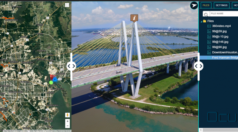
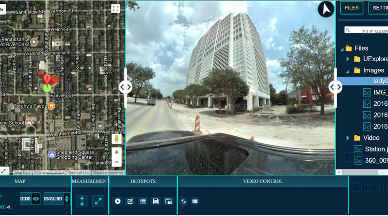
Keep imagery connected to the map
GPS-based photos and video can be displayed by capture location. Existing KML, KMZ, GPX or CSV information can provide additional project context. If GPS accuracy is critical, use the appropriate positioning system because OcuMap relies on the coordinates you provide.
Go beyond a street-view player
- Document visible assets and conditions from the imagery
- Calibrate supported photos for length and area measurements
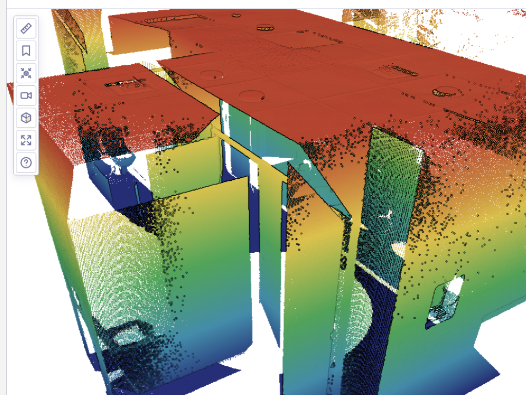
- Open and measure LAS, LAZ and E57 point clouds
- Compare imagery from the same location across dates
- Keep PDFs and design files with the visual record
Keep the project private until you choose to publish
OcuMap projects are organization-controlled. When outside stakeholders need access, a Published Viewer can present selected documentation in a read-only browser experience without exposing the internal workspace.
Use public and private imagery for different purposes
Public street-imagery services are excellent for broad geographic coverage. A private visual documentation platform is more appropriate when the imagery itself is part of a project record, inspection history, owner handover or long-term asset documentation.
Start documenting with OcuMap →
Practical checklist
- Decide which media type answers the project question: focused photos, 360 context, video, point clouds or a combination.
- Keep original source files and capture metadata.
- Confirm the output formats can move between systems without proprietary lock-in.
- Estimate storage and upload requirements before large collections.
- Document calibration, positioning and accuracy assumptions.
- Plan how clients and future teams will access the record.
Related resources
Common questions
Is this a replacement for Google Street View?
OcuMap is not intended to reproduce a public global street-imagery service. It is for organizations that need a private project-specific visual record.
Can I capture the same location repeatedly?
Yes. Repeat documentation is valuable because it can be compared across dates.
Can I share only selected content?
Yes. Published Viewers are designed for curated external delivery.