Street Level Mapping

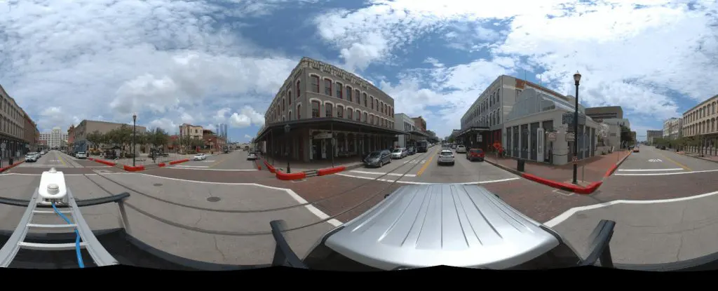
Street Level Mapping With Spherical 360 GPS Camera

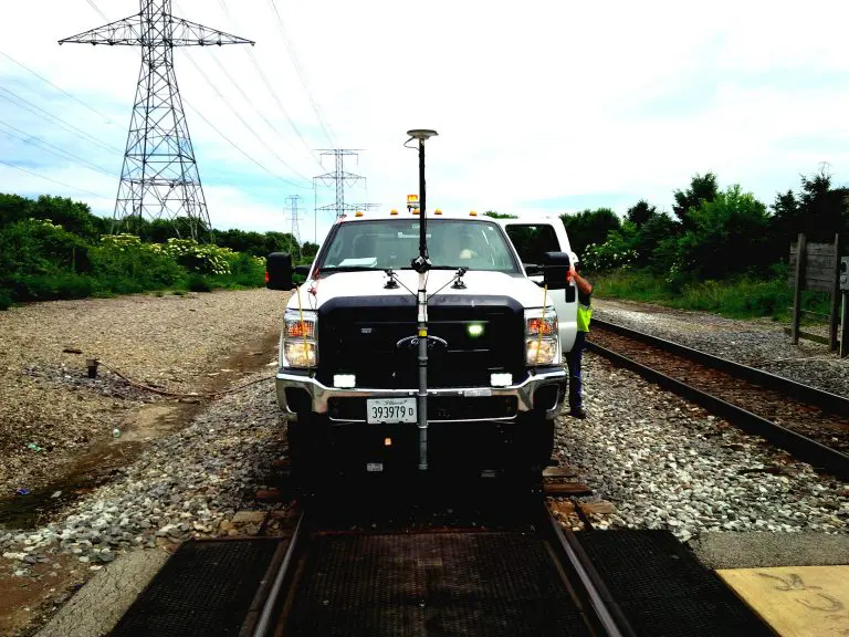
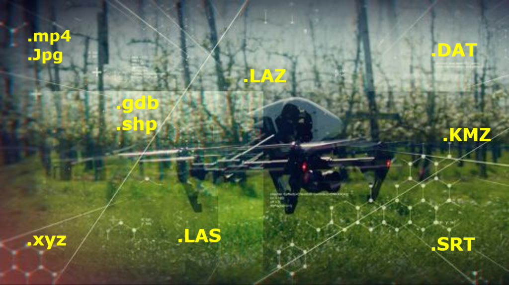
How to document assets within your city using an off-the-shelf GPS camera Street Asset Management is no longer restricted to highly-trained professionals, but to the masses: with a GPS camera, and OcuMap, you have everything you need to go out...

360 video mapping

Right of Way Imaging and Mapping – The Right Way

OcuMap’s 360o video mapping supports Rail Right of Way Imaging and Mapping survey and acquisition best practices at a fraction of the cost of other 3D mapping technologies. Energy companies, railroads and utilities as well as the public sector face...

Video Imagery software for aerial geovideo, maps, and data management. OcuMap Software is camera agnostic, supports 360 degree video GPS & panoramic imagery

OcuMap Software for Drone Users

OcuMap’s new OcuMap software provides a great solution for drone companies looking for comprehensive video data management software. This article explains how drone companies in the mapping and surveying space can upload, manage and share drone video imagery within their...

OcuMap geovideo software

How Geovideo Streamlined Corridor Inspections by 60%

Geovideo Inspection Technology Geovideo! what is it? We have all been hearing the bad news about budget cuts in infrastructure maintenance and management. An issue that continue to challenge city managers and engineers around the world. In the State of...

Mobile Mapping Software

OcuMap for Mobile Mapping-Street Level Imaging

User-Friendly Mobile Mapping Software OcuMap offers users of street level imagery a comprehensive video data management software solution, enabling them to speed up data management workflows and share their data inside their organization. Over the years, street level imagery has...

drone data management software

Drone Mapping | Too Much UAV Data To Manage?

Drone Data Management Software Might Help! There was a time when the usage of drones was only limited to the military. However, the usage and applications of commercial drones are on the rise today and drones industry is growing faster...