gps mapping software

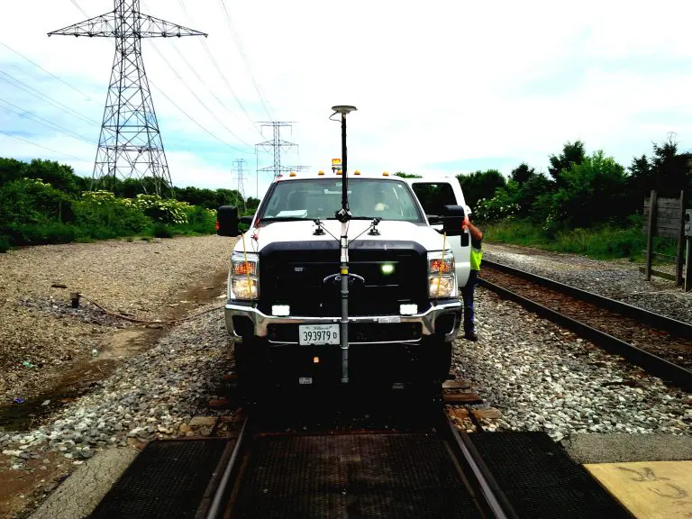
Public Infrastructure Asset Inventory

Public Infrastructure Agencies have the burden of managing infrastructure assets such as roads, highways, sidewalks, traffic signs and signals in order to ensure the safety of the public. While this is a vital task for any thriving nation, it comes...

360 Video Mapping In OcuMap

What is 360 Video?

360 video, also known as Panoramic, Immersive or spherical Video is a term used to describe a hardware and software video technology that applies multiple camera sensors or lenses to record frames in all directions. These sensors are programmed or...

what is GIS-360 video GIS

What is GIS?

What is GIS and how is it used? GIS or geographic information system, is a technology used to capture, manage, and analyze data, specifically geographical data. Where data and location meet, that’s GIS. The data that GIS integrates is geospatial,...

360 video mapping

Right of Way Imaging and Mapping – The Right Way

OcuMap’s 360o video mapping supports Rail Right of Way Imaging and Mapping survey and acquisition best practices at a fraction of the cost of other 3D mapping technologies. Energy companies, railroads and utilities as well as the public sector face...