OcuMap Infrastructure Mapping

OCUMAP – EFFICIENCY, ECONOMY, CONTROL

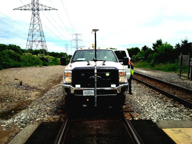
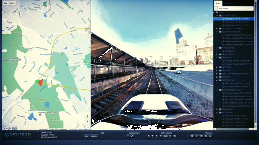
Mapping is essential for your projects. But infrastructure assessment, and asset inventory build can require expensive and time-consuming efforts such as multiple site visits, back and forth communication with the field and office, photos, messages, etc. Alternatively, you can try...

360 Video Mapping In OcuMap

What is 360 Video?

360 video, also known as Panoramic, Immersive or spherical Video is a term used to describe a hardware and software video technology that applies multiple camera sensors or lenses to record frames in all directions. These sensors are programmed or...

360 video mapping

Right of Way Imaging and Mapping – The Right Way

OcuMap’s 360o video mapping supports Rail Right of Way Imaging and Mapping survey and acquisition best practices at a fraction of the cost of other 3D mapping technologies. Energy companies, railroads and utilities as well as the public sector face...

Railroad 360 video Imaging and mapping is a technique which reproduces 360 videos and panoramic pictures of the right of way and tracks. 3D as-built.

Railroad 360 Video

Every railroad corridor requires a set of fiber optics cable network in order to keep it running but what does railroad 360 video mapping have to do with this? Like any other construction project, installation of a fiber optics cable...