Map Projection Basics
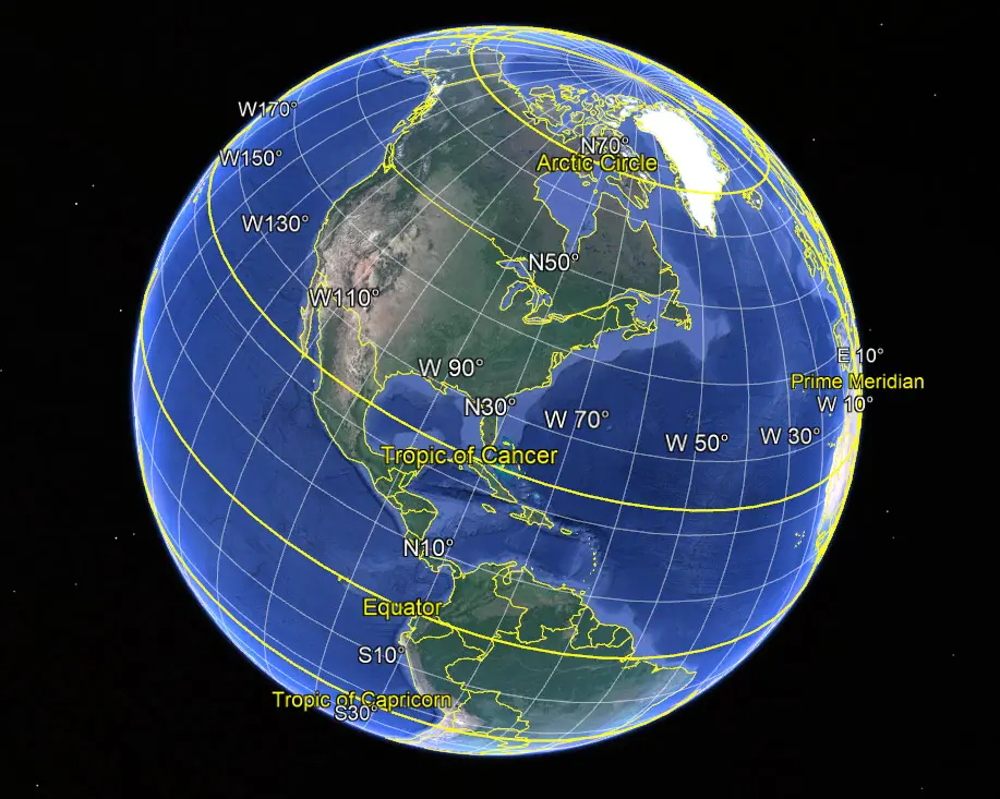
Map projection is a crucial technique used for hundreds of years to ensure coordinates are projected accurately onto a flat map. Watch this great video by Vox explaining why we use projections when dealing with geomatics and GIS. Defining a coordinate system before surveying and mapping sites is crucial to ensure all stakeholders are using the same values in their as-built and design drawings.