gps mapping software

The Power of GPS Mapping Software: Revolutionizing Navigation and Spatial Data Management

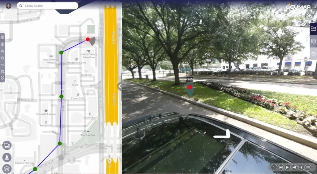
Whether for urban planning, transportation management, or personal navigation, GPS mapping software has become a critical tool. The technology has evolved far beyond its original military applications, now serving various industries with unmatched accuracy and reliability.  What is GPS Mapping...
environmental management

Why Interactive Mapping Software is a Game Changer for Urban Planning

Urban planning is a complex process that involves multiple layers of data, analysis, and stakeholder collaboration. In recent years, interactive mapping software has emerged as a revolutionary tool in this field, transforming how cities are designed, developed, and managed. This...

Utility Mapping Software in the US

Utility Mapping Services: Transforming Infrastructure Management in the US

The need for accurate, reliable, and efficient utility mapping services has never been greater. As urbanization continues to accelerate and infrastructure ages, the demand for advanced utility mapping solutions in the US has surged. Utility mapping services provide crucial data...

environmental management

Interactive Mapping Software: A Comprehensive Guide

Interactive mapping software is a powerful tool that allows users to create, visualize, and analyze data on a map. It is used in a variety of industries, including business, government, and education. In this article, we will explore the best...

3D Mapping Software

3D Mapping Software/Solutions: A Detailed Guide

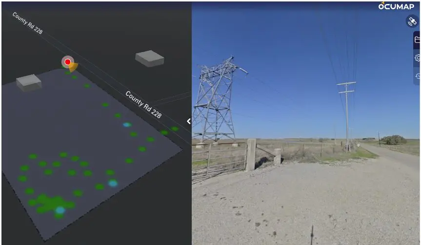
The digital world is becoming increasingly three-dimensional. From architectural design to urban planning, 3D mapping software is revolutionizing the way we capture, visualize, and analyze our physical environment. This comprehensive guide delves into the world of 3D mapping, exploring its...

Mobile Mapping GPS Camera Software-Geotagging-OcuMap

Best GPS Cameras for Mobile Mapping

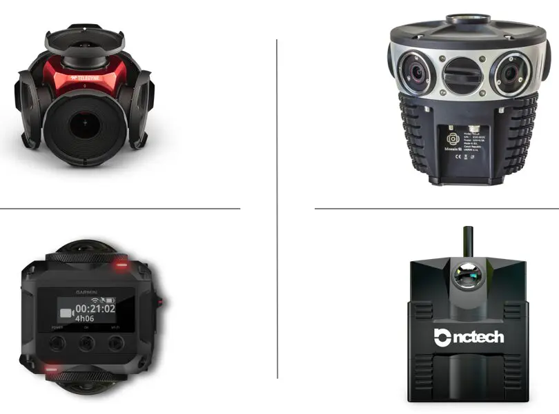
Depending on the task at hand, you will find it difficult to choose the best GPS camera for your mobile mapping project. While there are many off the shelf GPS cameras available, you want to make sure you invest in...

EXIF data

What Does EXIF Data Mean In Mapping?

EXIF Data: How is it used in Mapping EXIF Data, which stands for “Exchangeable Image File Format,” is a set of standardized tags embedded within digital photos. It’s like a hidden document attached to each image, revealing valuable information about...

360 video mapping

Right of Way Imaging and Mapping – The Right Way

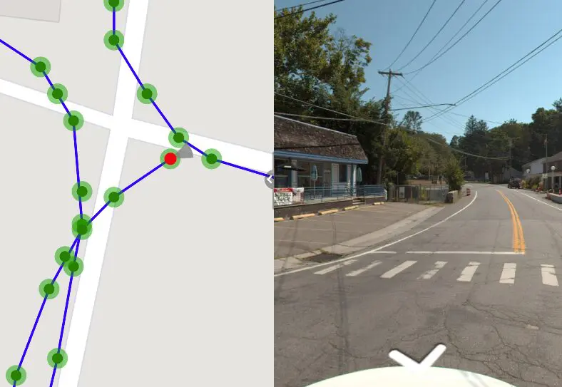
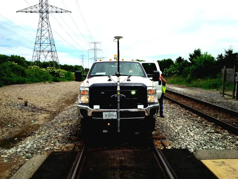
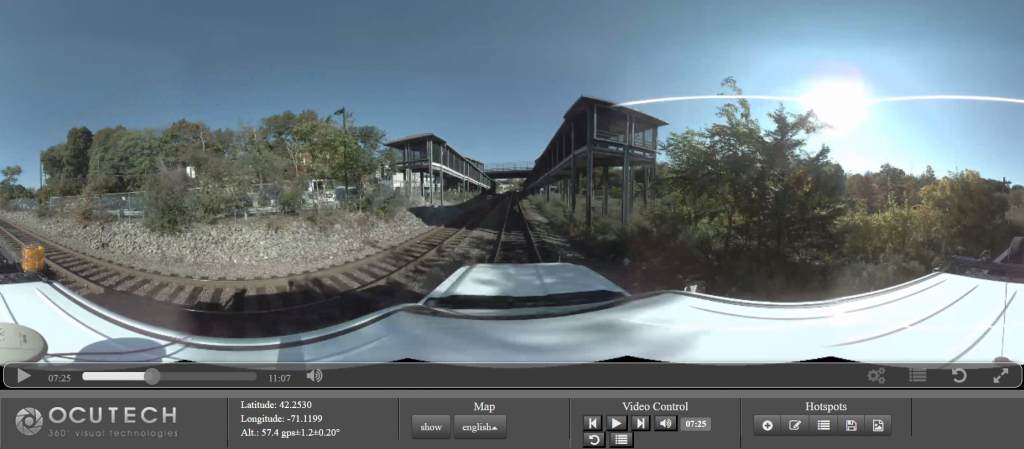
OcuMap’s 360o video mapping supports Rail Right of Way Imaging and Mapping survey and acquisition best practices at a fraction of the cost of other 3D mapping technologies. Energy companies, railroads and utilities as well as the public sector face...

railroad panoramic imaging uses 360 degree camera with GPS and sometimes LiDAR to perform track surveys and condition assessment. Relaity IMT generates 3d..

Railroad Panoramic Imaging

Street view Imaging for railroads streamlines planning & Inspections Every railroad corridor requires a set of fiber optics cable network in order to keep it running. Like any other construction project, installation of a fiber optics cable network requires a...

Drone Mapping Technology- 5 things to evaluating an effective drone mapping project. from hadrware, software to data delivery. Reality IMT Houston, Texas

Aerial Mapping Using Drones

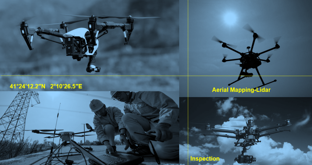
Here is a Quick Guide to selecting the right drone for your aerial mapping projects How often have we wanted to get a bird’s eye view with location intelligence from a certain height? Drones give you the chance to view...