Software for 3D Mapping

Software for 3D Mapping: A Complete Toolset for Surveyors and Developers

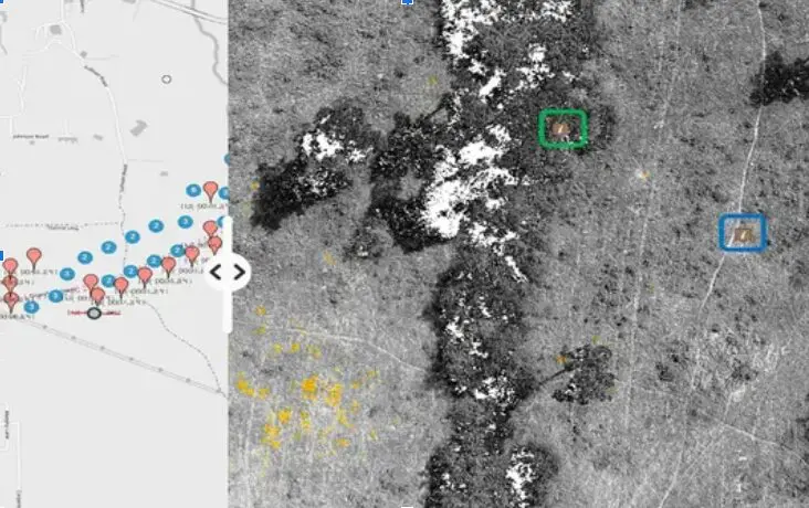
In the dynamic fields of surveying and development, 3D mapping software has become an essential resource. With capabilities to create accurate, high-resolution visualizations of land and architectural spaces, 3D mapping software provides a digital framework that simplifies complex processes and...

Street View Mapping Software

Reimagine Mapping: A Street View 360 App to Explore Every Corner

Over the past few decades, there has been a significant change in the way we explore our surroundings. The days of using maps as simple paper drawings of roads and landmarks are long gone. We can now travel to almost...

Street Level Imagery Platform

Street-Level Imagery Platforms: OcuMap vs. Mapillary: Choosing the Right One

Mapillary is now owned by Facebook and it is a crowd-based platform that relies on contributions from users to create and maintain its street-level imagery and map data. Users can upload photos they’ve taken while walking or driving, and these...

visual representation map

Get Instant Access to the Best Free Interactive Map Online

An interactive map can be a very useful tool, regardless of your level of experience traveling or whether you’re just trying to discover new places in your area. The map is free of charge. These maps provide you with a...

gps mapping software

The Power of GPS Mapping Software: Revolutionizing Navigation and Spatial Data Management

Whether for urban planning, transportation management, or personal navigation, GPS mapping software has become a critical tool. The technology has evolved far beyond its original military applications, now serving various industries with unmatched accuracy and reliability.  What is GPS Mapping...

Street View Mapping Software

Best Visual Mapping Software Nationwide

What is Visual Mapping Software? Visual mapping software enables users to create visual representations of information, such as mind maps, flowcharts, concept maps, and diagrams. These tools are designed to simplify the organization and analysis of data, making it easier...

GPS mapping software

What is OcuMap and How Does it Revolutionize Environmental Mapping?

What is OcuMap and How Does it Revolutionize Environmental Mapping? OcuMap is an innovative GPS mapping software designed to go where Google Street View cannot. This robust tool offers comprehensive environmental mapping solutions, enabling users to document wetlands, waterways, and...

environmental management

Interactive Mapping Software: A Comprehensive Guide

Interactive mapping software is a powerful tool that allows users to create, visualize, and analyze data on a map. It is used in a variety of industries, including business, government, and education. In this article, we will explore the best...

gps mapping software

Go Beyond Google Street View: Environmental Mapping Made Easy with OcuMap

Ever wished you could explore and document environmental features in more detail than what Google Street View offers? While Street View provides a fantastic glimpse into various locations, it often lacks the depth and flexibility needed for comprehensive environmental mapping....

Utility Mapping Software-OcuMap

Utility Mapping Services – Understanding Their Importance and Applications

Understanding the complex network of underground utilities is essential for safe and effective development, maintenance, and construction projects in today’s quickly changing urban settings. Utility mapping services are useful in this situation. These services aid in the avoidance of expensive...