Best Visual Mapping Software Nationwide
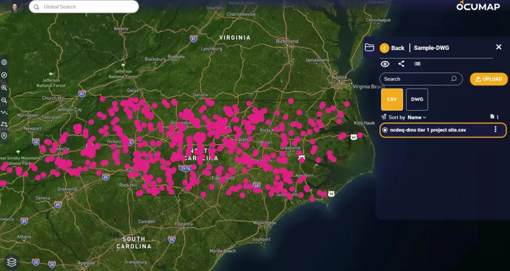
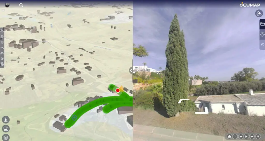
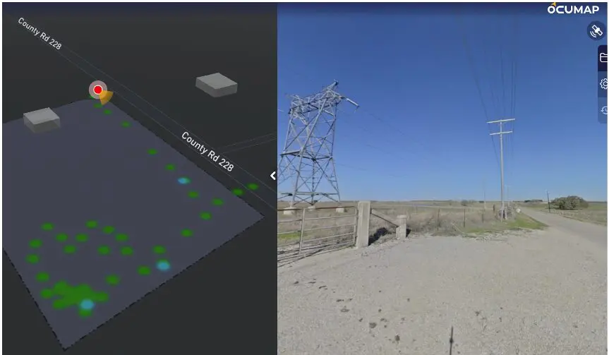
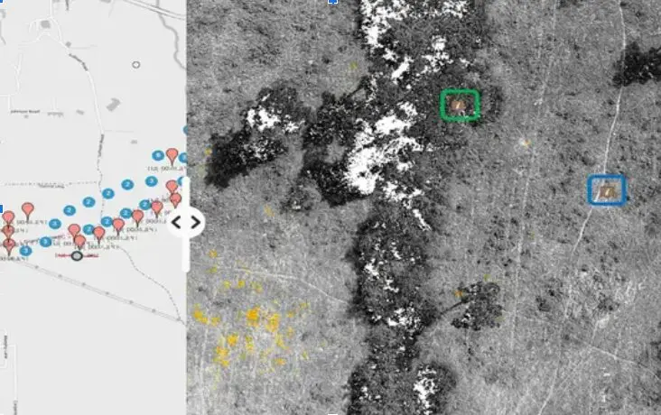
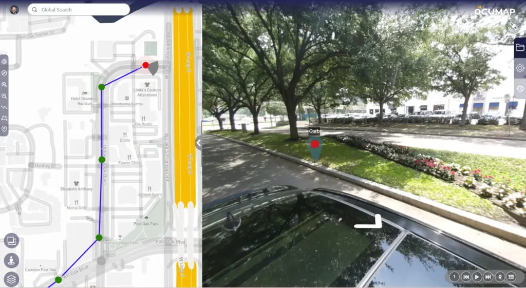
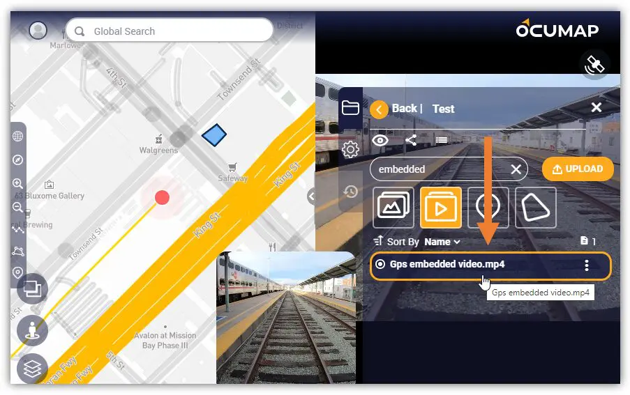
What is Visual Mapping Software? Visual mapping software enables users to create visual representations of information, such as mind maps, flowcharts, concept maps, and diagrams. These tools are designed to simplify the organization and analysis of data, making it easier...