Urban planning is a complex process that involves multiple layers of data, analysis, and stakeholder collaboration. In recent years, interactive mapping software has emerged as a revolutionary tool in this field, transforming how cities are designed, developed, and managed. This blog post explores why interactive mapping software is a game changer for urban planning, highlighting its benefits, applications, and impact on the future of urban development.
The Evolution of Urban Planning Tools
Urban planning has evolved significantly over the decades, moving from traditional paper maps and manual data analysis to sophisticated Geographic Information Systems (GIS). However, even GIS has its limitations, particularly in terms of user interactivity and real-time data integration. This is where interactive mapping software comes into play, offering a more dynamic, user-friendly, and data-rich platform for urban planners.
What is Interactive Mapping Software?
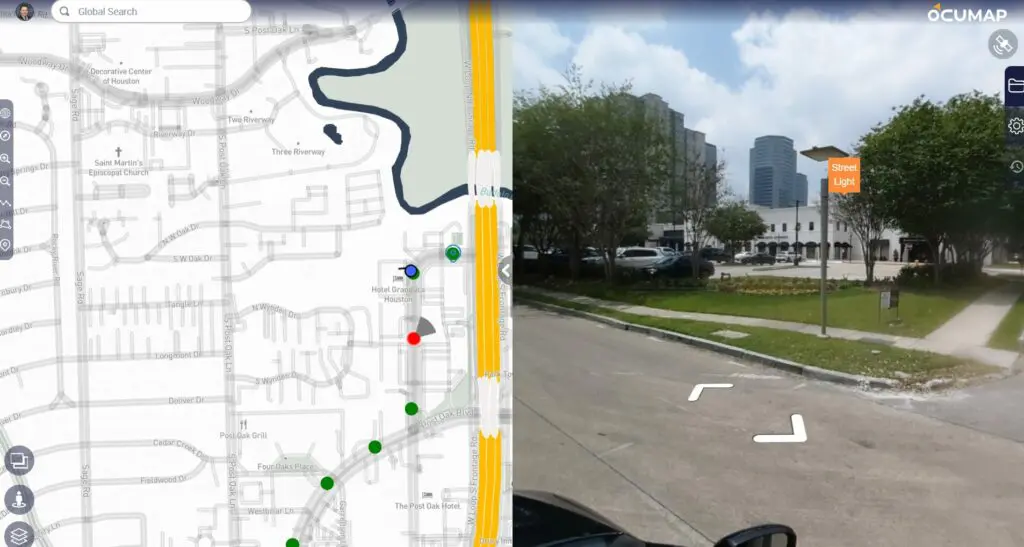
Interactive mapping software is a type of GIS technology that allows users to visualize, analyze, and interact with spatial data in real-time. Unlike traditional static maps, interactive maps enable users to zoom, pan, and click on various elements to access detailed information. This interactivity makes it easier to understand complex data sets, identify patterns, and make informed decisions.
Key Benefits of Interactive Mapping Software in Urban Planning
1. Enhanced Data Visualization
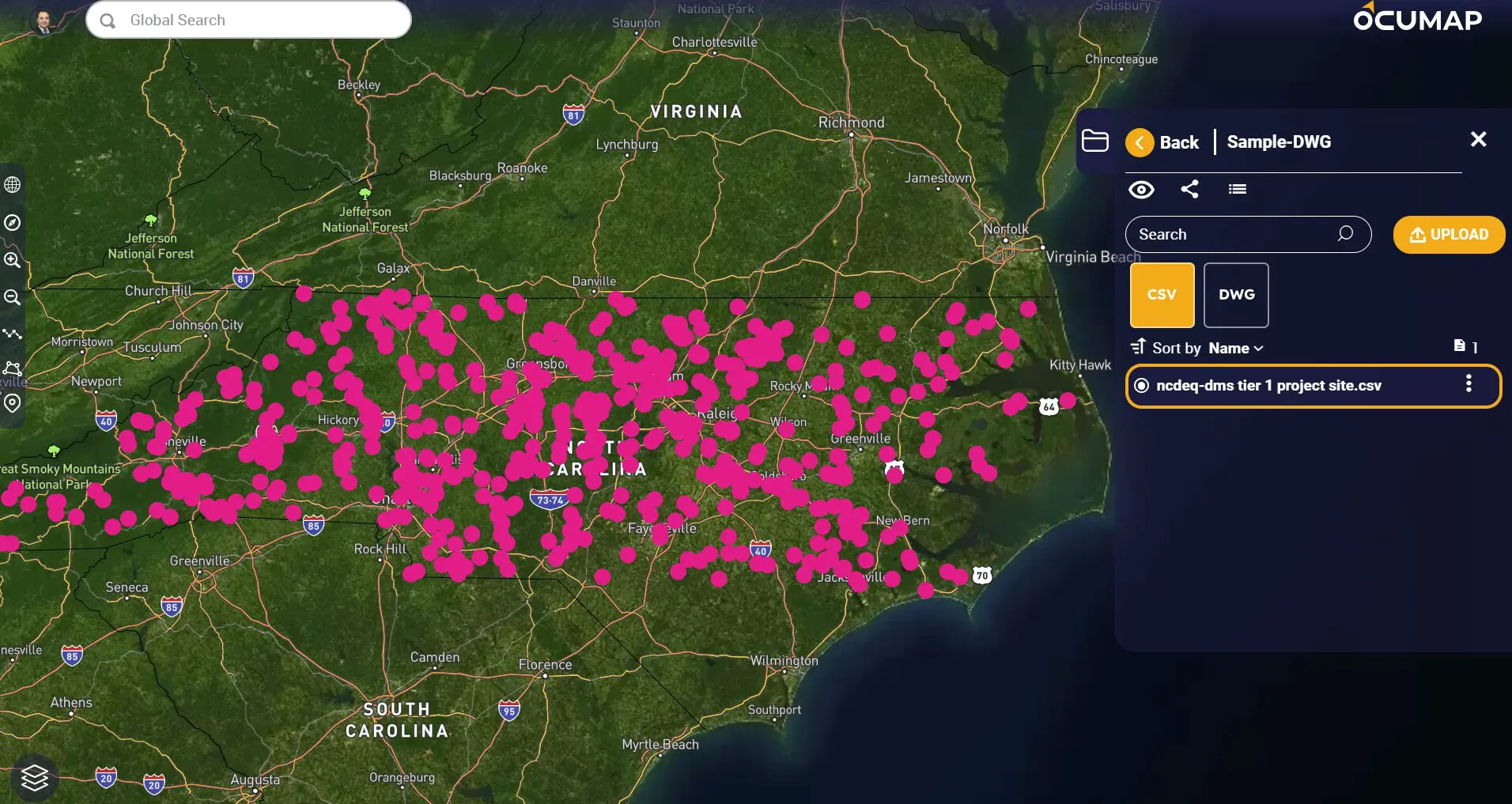
Interactive mapping software excels in visualizing complex spatial data. Urban planners can overlay multiple data layers, such as population density, land use, transportation networks, and environmental factors, to get a comprehensive view of the city. This multi-layered visualization helps in identifying trends, patterns, and potential issues that might not be apparent in static maps.
2. Real-Time Data Integration
One of the most significant advantages of interactive mapping software is its ability to integrate real-time data. Urban planners can access up-to-date information on traffic flow, weather conditions, construction activities, and more. This real-time data integration allows for more accurate analysis and timely decision-making, which is crucial for effective urban planning.
3. Improved Stakeholder Collaboration
Urban planning involves multiple stakeholders, including government agencies, private developers, and the community. Interactive mapping software facilitates better collaboration by providing a shared platform where all stakeholders can view, interact with, and contribute to the planning process. This transparency and inclusiveness lead to more informed and democratic decision-making.
4. Scenario Modeling and Simulation
Interactive mapping software enables urban planners to create and analyze various scenarios. For example, planners can simulate the impact of new infrastructure projects, zoning changes, or population growth on the city’s layout and functionality. These simulations help in evaluating different options and choosing the most sustainable and effective solutions.
5. Enhanced Public Engagement
Engaging the public is a critical aspect of urban planning. Interactive mapping software allows planners to create public-facing maps and applications that residents can use to explore planning proposals, provide feedback, and participate in the decision-making process. This increased public engagement leads to more community-supported and successful urban planning initiatives.
Applications of Interactive Mapping Software in Urban Planning
1. Land Use Planning
Interactive mapping software helps urban planners analyze current land use patterns and develop plans for future land development. By visualizing various land use scenarios, planners can make informed decisions that balance economic growth, environmental sustainability, and community needs.
2. Transportation Planning
Efficient transportation systems are vital for urban areas. Interactive mapping software allows planners to analyze traffic patterns, public transit routes, and pedestrian pathways. This analysis helps in designing transportation networks that reduce congestion, improve accessibility, and promote sustainable modes of transport.
3. Environmental Impact Assessment
Urban development can have significant environmental impacts. Interactive mapping software enables planners to assess these impacts by overlaying data on natural resources, wildlife habitats, and pollution levels. This assessment helps in developing strategies to mitigate negative effects and promote sustainable development.
4. Infrastructure Development
From utilities to public amenities, infrastructure planning is a cornerstone of urban development. Interactive mapping software provides a detailed view of existing infrastructure and helps in planning new projects. Planners can ensure that new developments are efficiently integrated into the existing urban fabric.
5. Emergency Management
Interactive mapping software plays a crucial role in emergency management and disaster response. Planners can use real-time data to identify vulnerable areas, plan evacuation routes, and coordinate emergency services. This capability is essential for enhancing urban resilience and protecting residents.
The Future of Urban Planning with Interactive Mapping Software
The adoption of interactive mapping software is set to revolutionize urban planning further. As technology advances, we can expect even more sophisticated features, such as 3D modeling, augmented reality, and artificial intelligence, to be integrated into these platforms. These advancements will enhance the ability of urban planners to create more livable, sustainable, and resilient cities.
Moreover, the increased availability of open data and public participation will democratize urban planning processes. Residents will have more opportunities to engage with planners and contribute to the development of their communities. This collaborative approach will lead to more inclusive and successful urban planning outcomes.
Conclusion
Interactive mapping software is undeniably a game changer for urban planning. Its ability to visualize complex data, integrate real-time information, facilitate collaboration, and engage the public makes it an indispensable tool for modern urban planners. As cities continue to grow and face new challenges, the adoption of interactive mapping software will be crucial in creating sustainable, efficient, and resilient urban environments.
By leveraging the power of interactive mapping software, urban planners nationwide can make more informed decisions, improve public engagement, and ultimately build better cities for the future. Whether it’s land use planning, transportation optimization, environmental assessment, or emergency management, this technology offers endless possibilities for enhancing urban planning processes and outcomes.