Video Imagery software for aerial geovideo, maps, and data management. OcuMap Software is camera agnostic, supports 360 degree video GPS & panoramic imagery

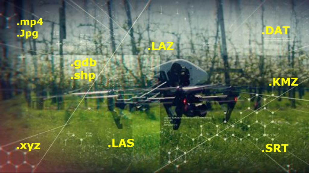
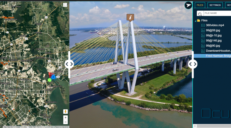
OcuMap Software for Drone Users

OcuMap’s new OcuMap software provides a great solution for drone companies looking for comprehensive video data management software. This article explains how drone companies in the mapping and surveying space can upload, manage and share drone video imagery within their...

drone data management software

Drone Mapping | Too Much UAV Data To Manage?

Drone Data Management Software Might Help! There was a time when the usage of drones was only limited to the military. However, the usage and applications of commercial drones are on the rise today and drones industry is growing faster...