Rai Engineer-Right of Way Imaging and Mapping

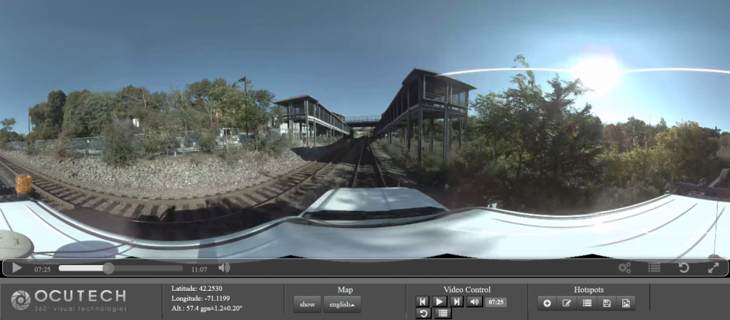
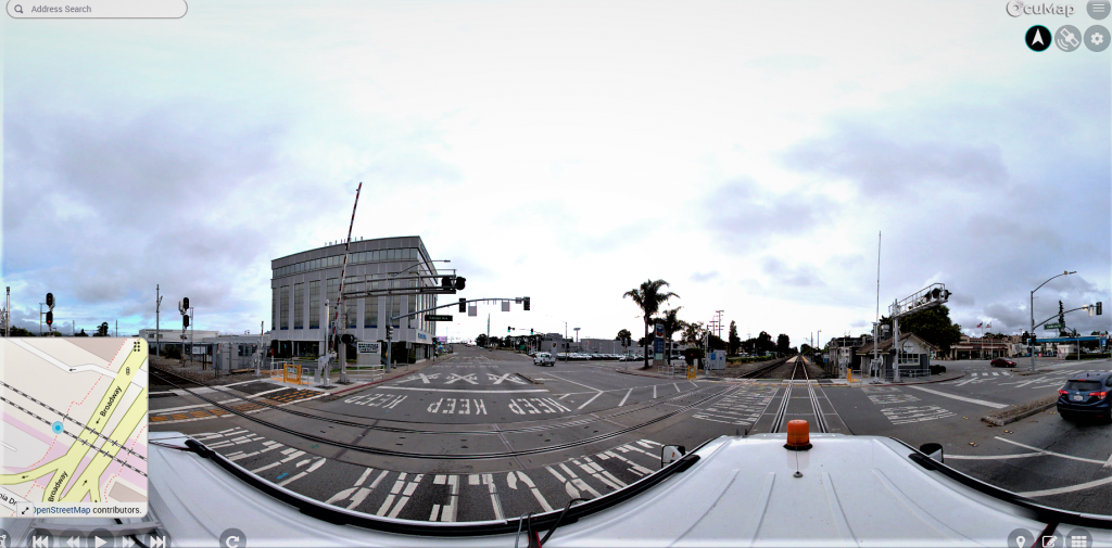
Rail Engineers, Do you need a GPS video for your Right of Way?

Are you a rail engineers or a maintenance manager? if yes, then you probably know that inspecting a busy corridor could be time consuming and dangerous at times, but depending on the type of operation you are involved in, you...

railroad panoramic imaging uses 360 degree camera with GPS and sometimes LiDAR to perform track surveys and condition assessment. Relaity IMT generates 3d..

Railroad Panoramic Imaging

Street view Imaging for railroads streamlines planning & Inspections Every railroad corridor requires a set of fiber optics cable network in order to keep it running. Like any other construction project, installation of a fiber optics cable network requires a...