Mobile Mapping GPS Camera Software-Geotagging-OcuMap

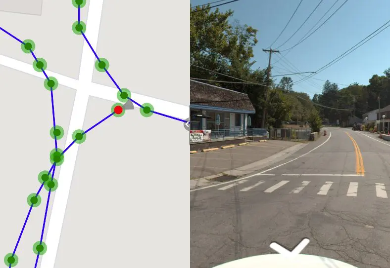
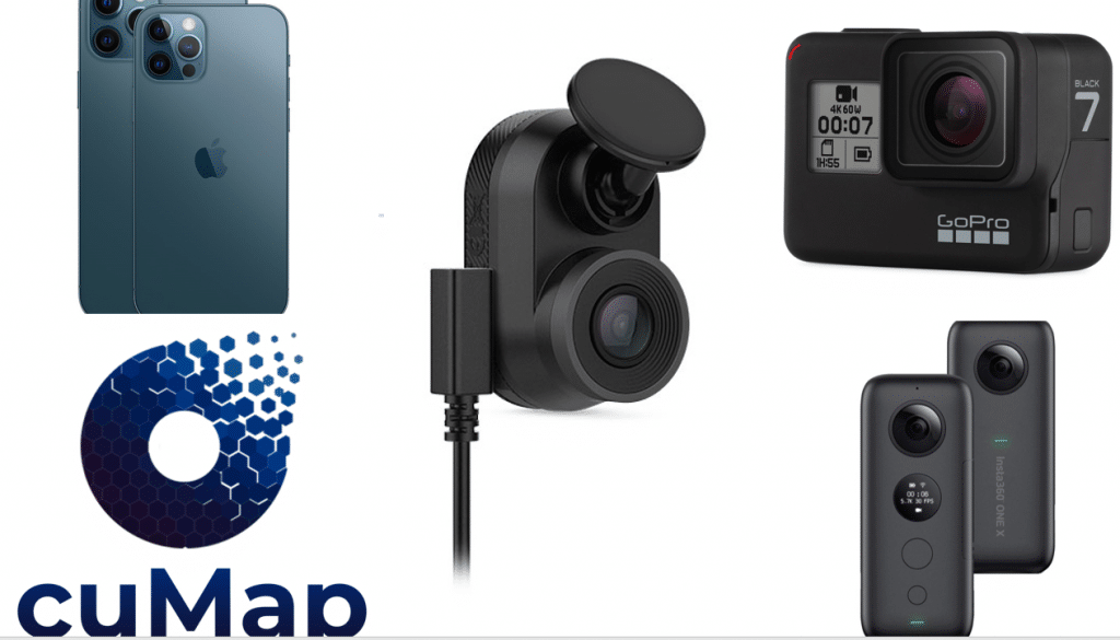
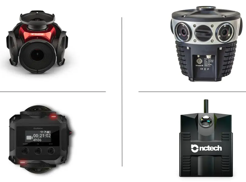
Best GPS Cameras for Mobile Mapping

Depending on the task at hand, you will find it difficult to choose the best GPS camera for your mobile mapping project. While there are many off the shelf GPS cameras available, you want to make sure you invest in...

EXIF data

What Does EXIF Data Mean In Mapping?

EXIF Data: How is it used in Mapping EXIF Data, which stands for “Exchangeable Image File Format,” is a set of standardized tags embedded within digital photos. It’s like a hidden document attached to each image, revealing valuable information about...

360 Video Mapping In OcuMap

What is 360 Video?

360 video, also known as Panoramic, Immersive or spherical Video is a term used to describe a hardware and software video technology that applies multiple camera sensors or lenses to record frames in all directions. These sensors are programmed or...

GPS cameras of 2020

Best GPS Cameras of 2020 Breakdown

Different circumstances call for different cameras. Having the right camera at the right time can take the final product from acceptable to truly impressive. Here is a guide to various camera types with the pros and cons of each and...