GPS Utility Mapping

The Power of GPS Mapping Apps: A Comprehensive Guide

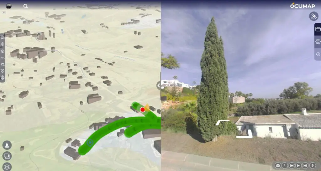
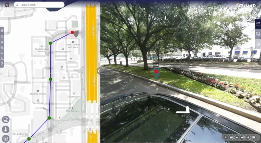
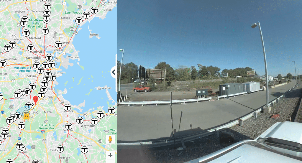
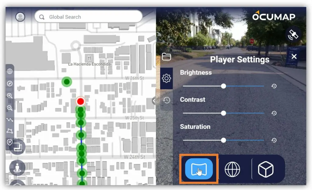
Mapping technology is essential for navigating the digital and physical worlds in today’s fast-paced environment. The GPS mapping program has completely changed the way we track resources, navigate cities, and even preserve the environment. The capabilities of mapping apps have...

GPS mapping software

What is OcuMap and How Does it Revolutionize Environmental Mapping?

What is OcuMap and How Does it Revolutionize Environmental Mapping? OcuMap is an innovative GPS mapping software designed to go where Google Street View cannot. This robust tool offers comprehensive environmental mapping solutions, enabling users to document wetlands, waterways, and...

3D Mapping Software

3D Mapping Software/Solutions: A Detailed Guide

The digital world is becoming increasingly three-dimensional. From architectural design to urban planning, 3D mapping software is revolutionizing the way we capture, visualize, and analyze our physical environment. This comprehensive guide delves into the world of 3D mapping, exploring its...

Roadway asset inventory

The Efficient Asset Inventory Solution

How to document assets within your city using an off-the-shelf GPS camera Mapping is essential for your projects. But infrastructure assessment, and asset inventory build can require expensive and time-consuming efforts such as multiple site visits, back and forth communication...