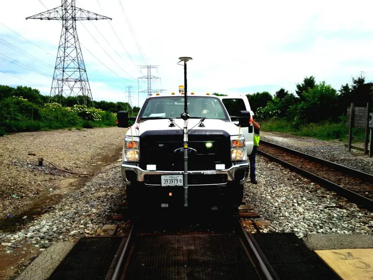
OcuMap’s 360o video mapping supports Rail Right of Way Imaging and Mapping survey and acquisition best practices at a fraction of the cost of other 3D mapping technologies.
Energy companies, railroads and utilities as well as the public sector face a common hurdle in identifying, acquiring and maintaining Right of Way (ROW) for infrastructure construction and improvement. ROW activities must comply with federal, state and sometimes local regulations and generally follow a process similar to this one:
These processes are time and labor intensive, usually involving multiple organizations and contractors; lack of the right information at the right time can frequently result in cost overruns and project delay.
According to the American Association of State Highway and Transportation (AASHTO) guidelines and best practices for ROW, several key guidelines can be made more efficient and effective with OcuMap’s 360-3D video mapping technology:
1. Effective communication and coordination must be established between all disciplines…during the scoping, project development and design phases.
No practice makes effective communication and collaboration simpler than every team member having the same experience – seeing the same sites, the same data, and the same feedback. OcuMap’s 360o video mapping lets every member of the extended team participate in a visual tour of the ROW and access all survey and site related information from the comfort of their own location. OcuMap’s low cost 360 video mapping includes geospatial information, which allows the precise overlay of the project plans onto the proposed right of way. This facilitates project scoping, supports collaborative design and development changes and allows development of environmental information to be viewed in context. This data rich environment facilitates the discussion and agreement by decision makers and key subject matter experts earlier in the process.
2. Develop a well-trained and technically qualified group of staff
OcuMap’s 360 technology allows seamless job shadowing for on the job training, without trainees being physically present. Information points within the video map can provide comments, watch-outs and other training content in the location and context appropriate. Previously mapped projects can be used to create case studies for both process and technical training. Trainees can load photos, video or other data to the information layer to be checked or approved by their trainer as they perform on-the-job training.
3. Utilize available technology to expedite appraisal production (including GIS mapping and land use information)
After the scoping, project development and design phases, the 360 video map can be used for the execution of the project – producing appraisals and associated offers to land owners using 3D video, digital photographs, associated surveys and centerline measurements and other important linked information. Work can be shared among several appraisers, and site specific details can be viewed and worked into the appraisals and offers (things such as re-siting of mailboxes or fences). Information relating to each appraisal can be linked in the information layer (e.g. the existence of liens, land owner communications, other public records) so that it can serve as a checklist for a complete appraisal and negotiation. Not only does this avoid time consuming rework if something is forgotten and expensive site visits to check on site specific details, it also allows collaboration and handoffs between personnel to keep the work moving forward.
Obtaining new ROW, or altering existing ROW, is one of the most time consuming and potentially inefficient processes for capital projects. OcuMap’s 360 mapping technology can save time, money and frustration; ensure compliance and support public participation; and enable continuous process improvement for future projects.
How to get started with Panoramic Right of Way Mapping?
- The initial step is to create a visual documentation of the ROW by flying over it, and/or driving by it using OcuMap’s 360o video mapping technology. This is a one-time step to record the complete site in 360 degrees.
- Once the mapping is complete, stakeholders can access it on their desktops from any location using a single URL. They can then use hotspot function to annotate the video, geotag comments, or insert links to documents inside the 360 degree viewer that can be shared across the organization.
- When a visual inspection or update is needed, personnel can access OcuMap and will be able to locate the point of interest, take a geotagged photo, or a video, upload it to the viewer, fill out the inspection form and save the information as a layer.