Roadway asset inventory

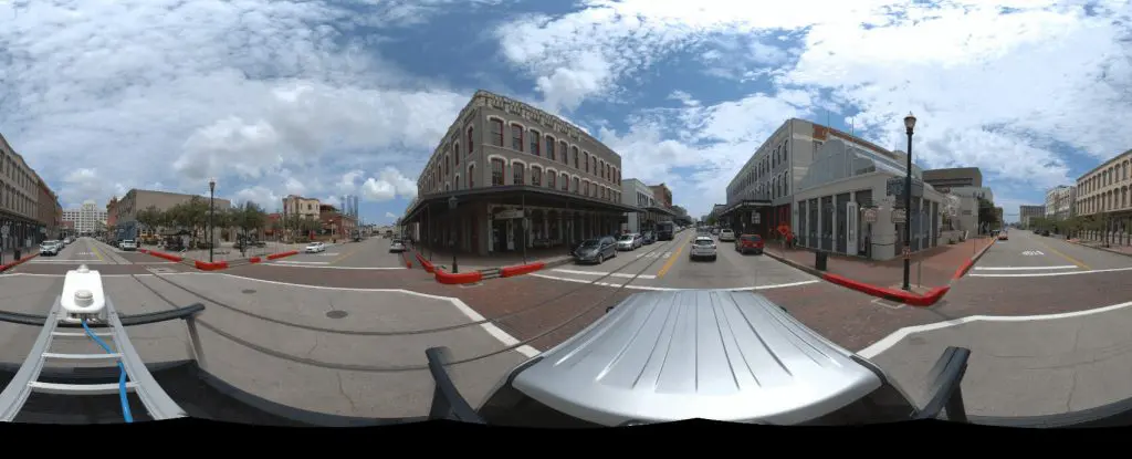
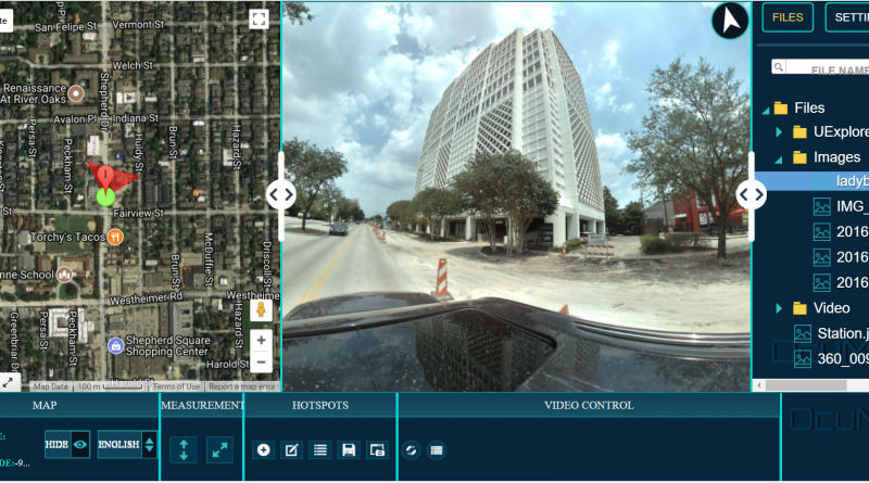
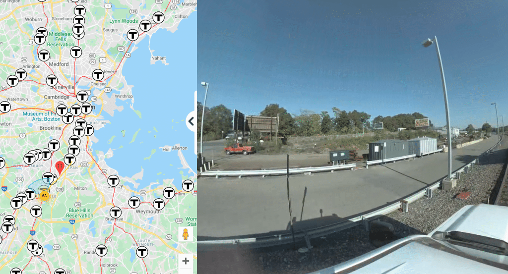
The Efficient Asset Inventory Solution

How to document assets within your city using an off-the-shelf GPS camera Mapping is essential for your projects. But infrastructure assessment, and asset inventory build can require expensive and time-consuming efforts such as multiple site visits, back and forth communication...

Street Level Mapping

Street Level Mapping With Spherical 360 GPS Camera

How to document assets within your city using an off-the-shelf GPS camera Street Asset Management is no longer restricted to highly-trained professionals, but to the masses: with a GPS camera, and OcuMap, you have everything you need to go out...

Mobile Mapping Software

OcuMap for Mobile Mapping-Street Level Imaging

User-Friendly Mobile Mapping Software OcuMap offers users of street level imagery a comprehensive video data management software solution, enabling them to speed up data management workflows and share their data inside their organization. Over the years, street level imagery has...