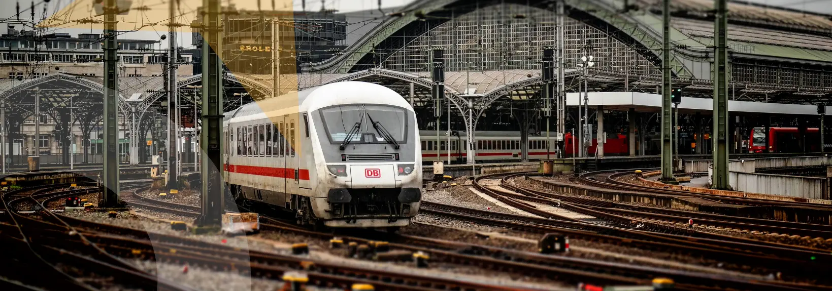
Transform Your Rail Right of Way Management with Ocumap: Visualize, Inspect, and Manage with Unprecedented Clarity
Ocumap provides railroad professionals – from Maintenance Directors and ROW Engineers to Project Managers and Operations Leaders – with a powerful web-based platform to gain comprehensive visual intelligence of their network, streamline workflows, and make more informed decisions.

Enhanced Maintenance and Inspection: Bring the Entire Network to Your Desktop
For Directors of Rail Maintenance and their teams, Ocumap's virtual track inspection capability provides a comprehensive visual record of your infrastructure. Conduct detailed assessments from the office, reducing the need for extensive field travel and saving valuable time and resources. Revisit any section of track as needed to inform maintenance planning and prioritize work effectively.
Accurate Asset Management and ROW Intelligence.
For Engineers - Right of Way and maintenance personnel, Ocumap allows you to easily locate and document above-ground assets directly from panoramic imagery. Create detailed, georeferenced asset inventories crucial for design, planning, and ongoing maintenance. Improve data accuracy and reduce the time spent on manual asset identification in the field.
Streamlined Data Management for Informed Decisions
Ocumap provides a centralized, easy-to-use platform to organize vast amounts of GPS-tagged imagery and video. This visual database becomes a single source of truth for your rail network. Project Managers can easily access site conditions for planning, while Business Operations Managers can gain visual context for operational planning and incident response. Efficient data organization saves time and improves collaboration across departments.
Monitor Change Over Time with Visual Comparison
For Engineers - Right of Way and Directors of Rail Maintenance, Ocumap's image comparison feature is invaluable. Easily compare imagery captured on different dates to visually track changes in the right of way, monitor the effectiveness of maintenance work, identify areas of erosion or vegetation growth, and document the evolution of your infrastructure over time. This capability supports proactive maintenance and informed decision-making
Benefits for Your Role
Project Managers
Provide visual context of project sites to the team and stakeholders, improving understanding and communication. Monitor project progress and verify completed work remotely using dated imagery. Document site conditions before, during, and after construction. Reduce Cost/Time: Fewer site visits required for progress monitoring. Quicker issue identification and resolution through visual documentation. Enhanced ability to manage and verify contractor work.
Business Operations Managers
Gain visual awareness of track conditions and potential operational hazards without being physically on site. Better understand the context of operational issues reported by crews. Visually confirm the status of infrastructure that impacts train movements. Reduce Cost/Time: Potentially aid in faster assessment of incidents affecting operations. Improve planning for temporary speed restrictions or route adjustments based on visual information. Enhance communication with dispatch and crews regarding track conditions.
Directors of Rail Maintenance
Gain a comprehensive visual overview of the entire rail network's condition from the office. Facilitate better planning of maintenance activities based on visual evidence. Improve communication with teams by providing visual context. Reduce Cost/Time: Potentially reduce the need for some physical inspections, saving time and travel costs. More efficient allocation of maintenance resources based on identified needs from imagery. Faster assessment of damage after incidents.
ROW Engineer
Conduct virtual site visits for initial assessments and design planning without extensive travel. Accurately extract locations and details of assets and features directly from imagery for design and documentation. Visually verify existing conditions and potential clashes before and during design. Reduce Cost/Time: Significant reduction in field visits for data collection and verification. Faster and more accurate creation of asset inventories and mapping. Improved collaboration with stakeholders by sharing visual data.
Off the Shelf
Camera
Use any GPS-enabled camera to record GPS videos or GPS imagery
Virtual Track
Inspection
Bring the entire track onto your desktop and revisit it as many times as needed
Locate Crossings
And Signals
Plan and validate your maintenance operations efficiently
Do you need help with Data Capture?
Utilize our network of experienced mobile mapping service providers
Features

Geovideo with maps.
Bring the entire site onto your desktop and revisit it as many times as you need to.

Panoramic 360 Images & 360 Videos.
Geotag points of interest and generate a database from panorama 360 videos and imagery

Export geotagged data.
Keep your GIS data up to date with visual records. Export geotagged data in .csv format for further GIS analysis

Create an OcuMap Account
Start visually mapping your corridor now with a 14-day free trial.
“The video map provided us with intelligent visual information to be used as a reference for planning, and as a baseline for comparison with future assessments.”
The City of Houston
Rod P. Deputy Director
Contact us
"*" indicates required fields