Go where google streteview couldn’t go

Document wetlands, waterways and land
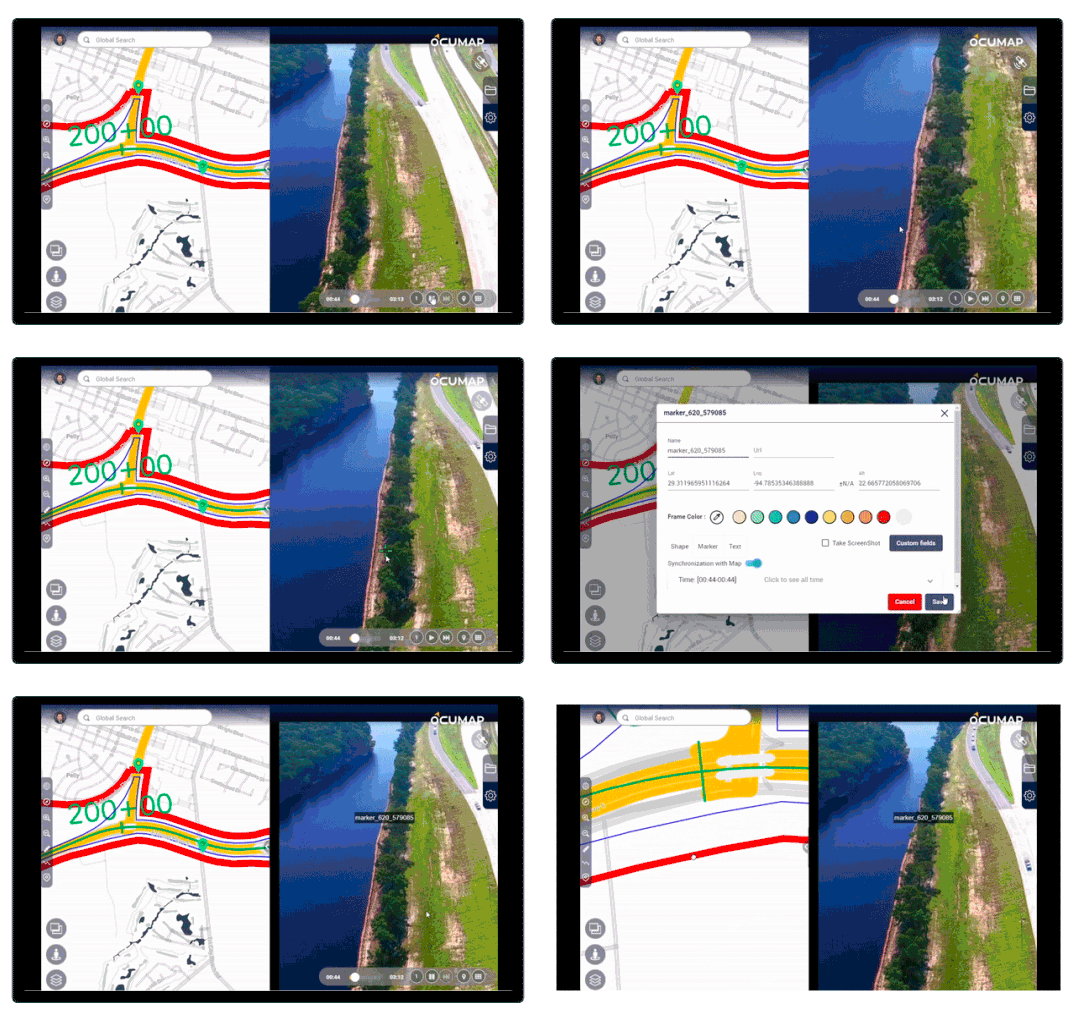
Using GPS based photos or videos, walk, bike, or fly the area of interest, capture your data once and make decisions from the office later.
Tag points of interest directly from photos
Once you see a feature of interest, you can grab it’s GPS lat/long info directly from inside OcuMap and share with the project stakeholders for enhanced decision making.


Publish privately or publicly and gain better insights
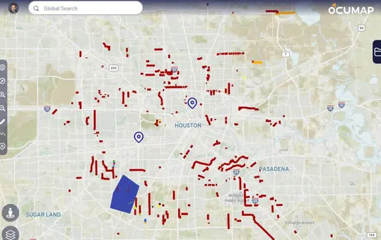
Take full control of your data including how you want to publish it and who should access it. Maximize your environmental assessments using easy-to-follow visual documentation on the map.
Interested in this feature?
Need help collecting imagery as a service? reach out to us.
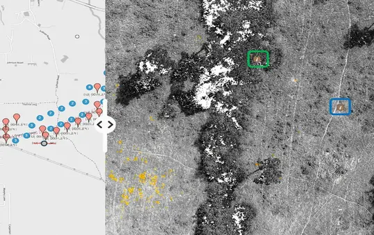
Perform Baseline assessment for inland and coastal areas
Conduct visual Biological surveys with historical records
Map Waterways and document staging areas
Oil spill preparedness and response
Frequently Asked Questions
OcuMap is an innovative mapping platform that helps you combine Reality Capture (images), GIS (location) and BIM (3D) to better manage your projects, optimize operations, and make more informed decisions.
OcuMap is used to visually document existing conditions of wetlands and waterways helping scientists and engineers around the world improve their environmental restoration and mitigation plans.
OcuMap does not provide any environmental datasets instead, it helps you visualize data you’ve collect with GPS cameras, or other location-based data in csv, xml, gpx, etc.
Create an OcuMap Account
Start visually mapping your data now with a 14-day free trial.
“NC DEQ DMS utilizes Ocumap to display 360 degree videos of stream and wetland mitigation sites in concert with spatial data.”

Melonie A.
Environmental Scientist
Contact us
"*" indicates required fields

