Fast & Reliable Utility Mapping Solution

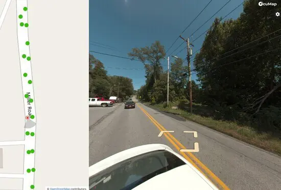
Verify the location of critical assets from drive-by-imagery
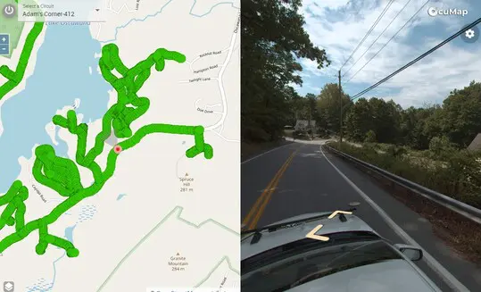
Collect panoramic imagery or panoramic videos from a moving vehicle and visually document the location of your electric distribution grid.
Perform condition assessment from your desktop
Evaluate the condition of your electric distribution circuits from the street level and determine accessibility constraints based on reality.


Identify potential system reliability upgrades and increase operational efficiency by 30%
Confirm that your GIS and SAP databases are in sync. Obtain new asset data required for advanced operational functions, installation and maintenance.
Need help collecting imagery? reach out to us.
Frequently Asked Questions
If you have your circuits in KMZ/KML format, you can upload them and see the relative location of your GPS based images/videos compared to the circuits. If your KMZ/KML file has attributes with circuit name for example, you can click on it and it will tell you the circuit name. This way you can label your tagged feature with the same name as your circuit name.
OcuMap is used by Coops, utility owners/operators and utility contractors to help locate existing assets, generate an asset inventory of the distribution grid and to plan operational maintenance before deploying the field crew.
You can extract point features from the panoramic imagery and panoramic videos you collect. An example of a utility point feature is a transformer, the attribute could include whatever you specify when you extract this feature. All extracted points will have Lat/Long information associated with them and can be exported as CSV or SHP file.
Create an OcuMap Account
Start visually mapping your electric distribution grid now with a 14-day free trial.
“The video map provided us with intelligent visual information to be used as a reference for planning, and as a baseline for comparison with future assessments.”

The City of Houston
Rod P. Deputy Director
Contact us
"*" indicates required fields

