An Easy way to publish your images to a Map
Converting your data tables from CSV to interactive maps has never been easier

Create a Project Folder

Drag and Drop your GPS images

See your images on the map
Try it by yourself!

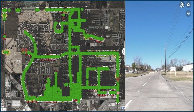
Drag and drop thousands of photos and see them on the map
Map your photos instantaneously and see where your data is located
-
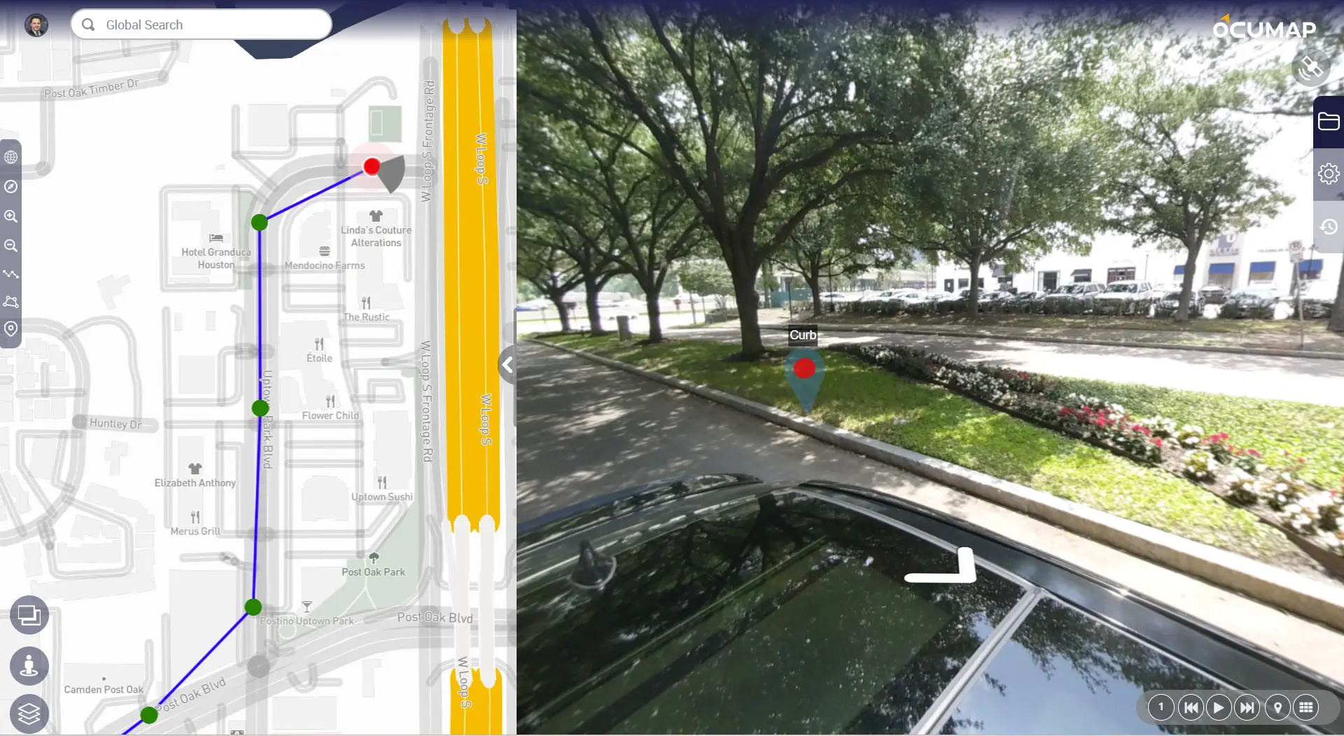
Navigate from one image to another as if you were there
-
Pan around in 360, zoom in and zoom out to see it all
-
Get the GPS coordinates of each photo using EXIF data
Leverage your GPS images for virtual Inspections
Annotate photos based on location, share your comments with your team and increase inspection efficiency by 30%
-
Use any GPS camera to collect your photos, including smartphones.
-
Group your photos by project name, annotate them as needed
-
Link maintenance documents to photos based on geolocation


Geotag a Point of Interest inside a Photo and on the map
Extract point features directly from images, tag anywhere inside the photo and see your tagged features on the map
-
Single click photo tagging to locate features of interest
-
Create custom fields to eliminate repetitive photo tagging tasks
-
Create your list of features once and tag them along thousands of miles with a single click.
Bring an entire city onto your desktop for smart planning
OcuMap is built to handle terabytes of photos and map data securely in the cloud, making it an ideal solution for:
-
Street level mapping
-
Infrastructure documentation and assessment
-
Image-based asset inventories
Try it by yourself!
Frequently Asked Questions
Yes, you can upload panoramic JPEG photos in Equirectangular format and see them on the map. EXIF data must be associated with the JPEGs before the software can show location. You can also upload flat (non 360) photos.
You can use any GPS-enabled camera. OcuMap supports .mp4 video files and .jpeg image files. If you are recording video with GPS, make sure you can export a GPS data file out of the camera in simple text format (txt, csv, xml) or GPX.
If your images have GPS in the metadata (EXIF), they will be automatically shown on the map once you upload them to OcuMap. If your JPEG does not have GPS metadata, then you can add GPS to them manually.
Create an OcuMap Account
Start visually mapping your data now with a 14-day free trial.
“OcuMap helped us locate assets within the ROW using panoramic images, a job that would not have been possible otherwise.”

WILLIAM BERNARD
CEO, REFLECTIVE LIGHT SCIENCE
Contact us
"*" indicates required fields

