Combine all your GoPro videos and photos on the map with a single dashboard.
360 Videos | Panoramas | Aerial | Street Level
APPLICATIONS


Turnkey Visual Mapping Solution
GoPro Video, Images and Maps Accessible from Any Location
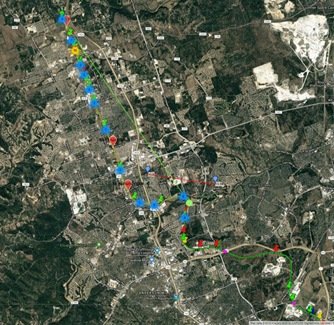
OcuMap Features
A single dashboard for visual asset mapping that brings the entire site onto the team’s desktop.
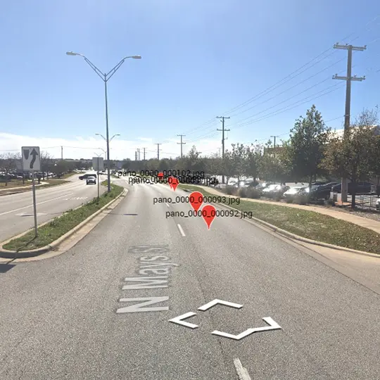
Panoramic Imagery:
Drag and drop geotagged panoramas to see them on the map.
check
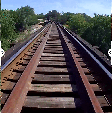
360 Video GPS:
Upto 11 K 360 video buffering. Parse GPS data with timestamp.
check
Zoom in and Out:
Flexible viewing to help locate features along the right of way.
check
check
Geotag POI:
annotate assets inside panoramas and 360 video, see POI on the map.
check
KMZ/KML on Map:
Upload your KMZ/KML file to the basemap for better data integration.
check
Secured & Protected:
Your data = your private platform. chose who to share it with.