Rail & road corridors
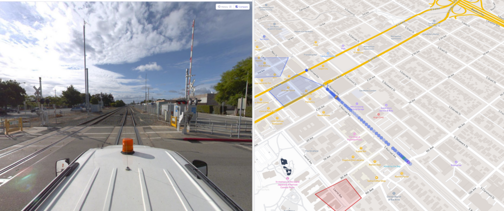
Drive or walk the route, upload the capture, and review any point along it from the office.
Rail, roads, utilities, rights-of-way, campuses, and large sites — captured as 360° imagery, video, and point clouds, organized on the map by route and location. OcuMap has documented corridors since 2017.

Drive or walk the route, upload the capture, and review any point along it from the office.
Keep a dated visual record of assets along the corridor — poles, signs, surfaces, crossings.
Document plants, yards, campuses, and outdoor facilities on the map, with drill-down to the imagery.
Re-capture the same route after work completes and compare conditions by location and date.
Publish read-only viewers for transportation agencies, municipalities, and utility stakeholders.
Bring video, images, and CSV asset lists you already have onto the map.
Start free — and stay free. Upgrade when your documentation needs more room.